Survey Sample and Design
Neighbourhoods refers to large areas based on the City of Toronto’s formal division of areas (E.g., Dorset Park and Mount Olive).
Routes are smaller areas within neighbourhoods that we used for scheduling surveying sessions. Routes were developed based on number of houses to visit and the total area.
Letter and flyer are physically printed materials given to residents as a reminder to complete the survey.
Protocol are the procedures and processes for surveying the target population.
Residents refer to individuals who surveyors asked to complete the survey. In this handbook, we use residents unless otherwise specified.
Participants are individuals who agreed to complete the survey.
Replenish is a meeting between the survey coordinator and surveyors to exchange necessary materials and formulate solutions to any survey-related challenges.
Replenish Protocol is an outline developed for each replenish that outlines which surveyor is responsible for which route and what materials are needed from the survey coordinator.
How did we design the survey?
We created four groups to guide us through the survey process:
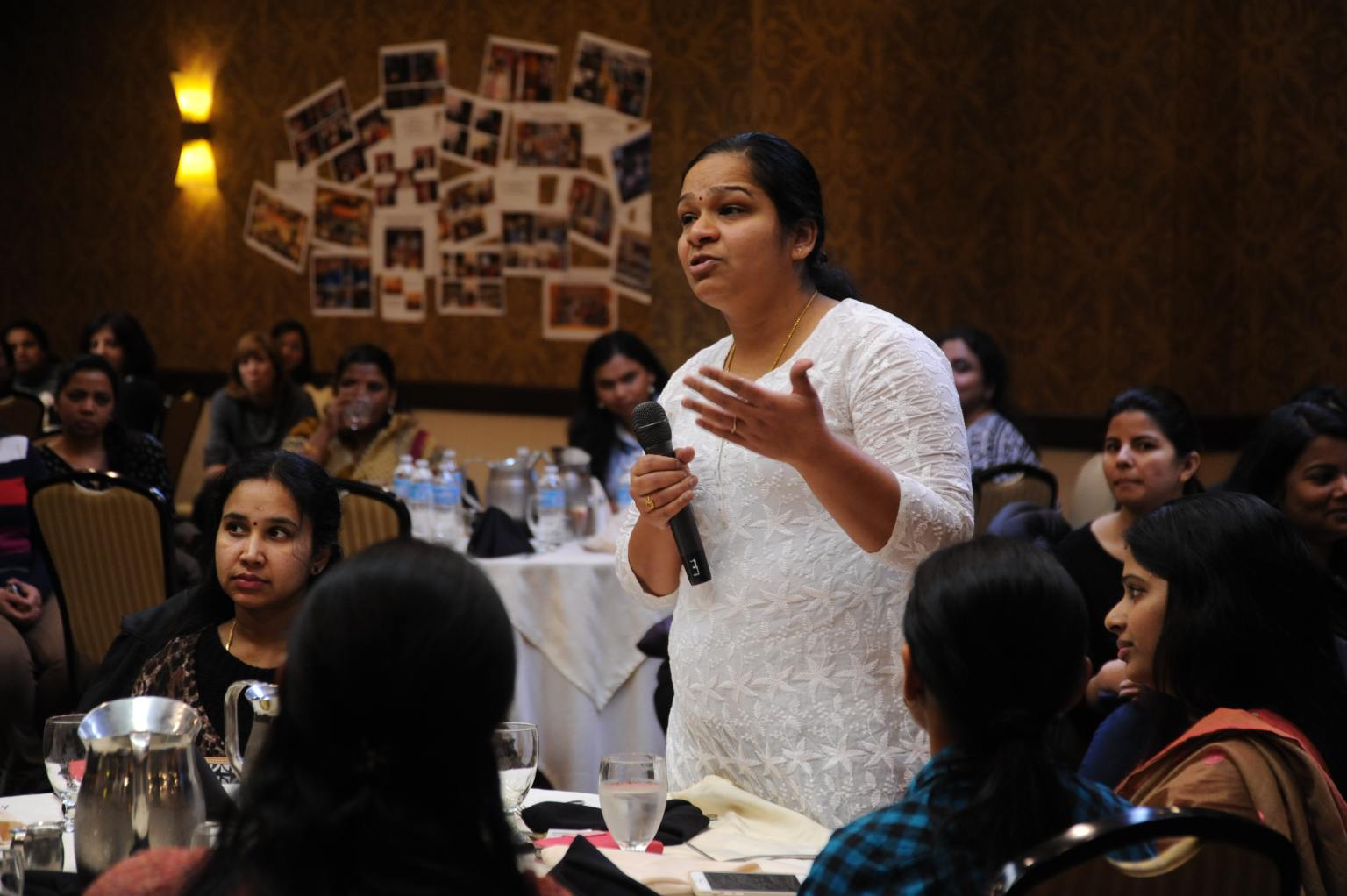
Members of diverse communities who were associated with community-based organisations located in study neighbourhoods and were representative of the communities of interest. This group provided feedback on the wording of survey questions as well as recruitment and sampling process. For example, this group developed strategies for targeting older community members to complete the survey. The group helped us identify areas where older individuals congregated and the most appropriate ways to approach them. We also presented a preliminary version of our survey findings to the community advisory group. Community advisors indicated the important and less important findings, and the most effective ways to present this work to the broader community.
Expert researchers in survey design and methodology. They provided us with feedback regarding the design of the survey, recruitment and sampling process, and analysis methods.
Two community researchers from study neighbourhoods were recruited as members of our research team. They supported the survey design and administration process, including identifying recruitment areas such as community centres and resolving challenges related to a specific demographic.
Surveyors who had residing or connections in the study neighbourhoods.
How did we design the survey?
The first step was to decide which neighbourhoods to include in the survey sample. We reviewed the City of Toronto’s official 2016 Neighbourhood Profiles data set to find the neighbourhoods that were (1) close to the diversity of the Toronto inner suburbs on average, and (2) were classified as low-income neighbourhoods. We also chose several neighbourhoods that were classified as high-income to serve as controls for our analysis. Keep in mind that the types of neighbourhoods you choose may be different from those targeted in our survey because they will depend on the aims of your survey.
STEP 2
Retrieve postal codes for selected neighborhoods
Once we selected the most appropriate neighborhoods, we retrieved all postal codes for each neighborhood using Statistics Canada’s Postal Code Conversion File.
STEP 3
Retrieve list of addresses associated with each postal code
We then used the Canada Post website to generate a list of addresses and unit numbers associated with each postal code. The format of addresses of apartment units were not consistent; we modified them to a consistent format using a geocoding tool. The final format for all addresses we used was: [unit number] [street], [suite number], [city], [postal code]. For our purposes, we selected a random sample of houses to visit based on a statistical sample size calculation.
STEP 4
Map addresses to Google Maps and clean up addresses manually
We mapped all addresses on MyMaps, a Google Maps feature. The survey coordinator then reviewed the MyMaps file to remove non-residential addresses (i.e., restaurants, libraries, schools, etc.) manually. In addition, the survey coordinator also removed addresses for high-rise buildings without unit numbers.
STEP 5
Create “routes” based on the final set of addresses
The remaining addresses were the households for the survey team to visit. The survey coordinator used MyMaps to define “routes” based on the number of houses to visit and approximate walking time between corners of the route area. The survey coordinator prepared a handout for each route that included a map of the area with pins on each house to visit, list of addresses to visit with postal codes and unit numbers (if applicable), and other information about the area: the distribution of homes to high-rises, parks and restaurants in the area, and whether or not there were any safety concerns identified by community advisors.
Click here to jump to the Resources section for examples on route handouts.
-
- Organise a community advisory and a technical advisory group to guide the survey design, implementation, analysis, and reporting process.
- Invite members from the study neighbourhoods to be members of the research team
- Ensure that at least one person on the research team should have expertise in survey design, recruitment, and analysis. The number of community members will depend on the number of study neighbourhoods.
- Involve community members in the following stages of the survey research process: research question development, survey design and refinement, development of recruitment strategies, and analysis and interpretation of survey results.
- Inquire the technical advisory board about strategies to maximise response rate, and the most appropriate neighbourhoods to survey based on the demographic characteristics of the sample.Organise a community advisory and a technical advisory group to guide the survey design, implementation, analysis, and reporting process.